Available translations: Cymraeg

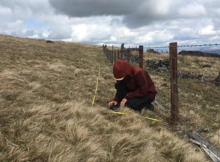
The ERAMMP National Field Survey builds on the GMEP surveys conducted between 2013-2016 and for consistency aligns to the methods of the UKCEH Countryside Survey of Great Britain, which provides robust estimates of indicators at national and sub-national level across Wales, England and Scotland. 

The ERAMMP survey will revisit the squares surveyed under GMEP to measure changes in the Welsh countryside over time to evaluate the effect of land being in the Glastir scheme. 

Survey Statistics since 2013

660km

of transects walked for pollinators

45,000

Meters sq. area with timed pollinator searches

4300

vegetation surveys of hedgerows and stream banks

1100

landscape features mapped

At each location, the team of professional surveyors will record or collect:  

Vegetation

Assessments to record plant species presence and abundance, with vegetation change expressed by habitat type and landscape location.  

Soil cores

Sampled from 5 points across each 1km square, enabling changes in several key topsoil characteristics to be studied.   

Soil erosion

Features are recorded for comparison to an earth observation study (link to EO study page).  

Landscape photography

Fixed point photographs provide repeatable images to monitor visual landscape change over time.  

Historic environmental features

Revisiting sites to quantify change over time for the statutory protection of nationally important Scheduled Ancient Monuments and regionally important Historic Environment Features.  

Public rights of way

Condition is recorded on digital maps.   

Woodland and linear features

Extent, composition and condition will be mapped, including woodland point features such as veteran trees.   

Freshwaters

Headwater streams and ponds are assessed for characteristics such as area, physical and chemical characteristics (i.e. depth, conductivity, pH, turbidity) and for wetland biology (i.e. plant communities, invertebrates). The stream surveys broadly follow River Habitat Survey methods.   

Birds

Estimate the total number and habitat of breeding pairs of bird species present.  

Pollinators

Focusing on three main insect groups: butterflies, bees and hoverflies. Butterflies will be recorded to species level, whilst bees and hoverflies will be recorded as groups based on broad differences in morphological features associated with ecological differences.