Available translations: Cymraeg

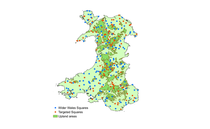
Land survey locations are selected to ensure good coverage of all major land classes in Wales.

Land classes are defined by characteristics such as climate, geology and topography. 

This approach ensures the survey captures a representative set of the major farm, woodland and land managed for habitat in Wales. 

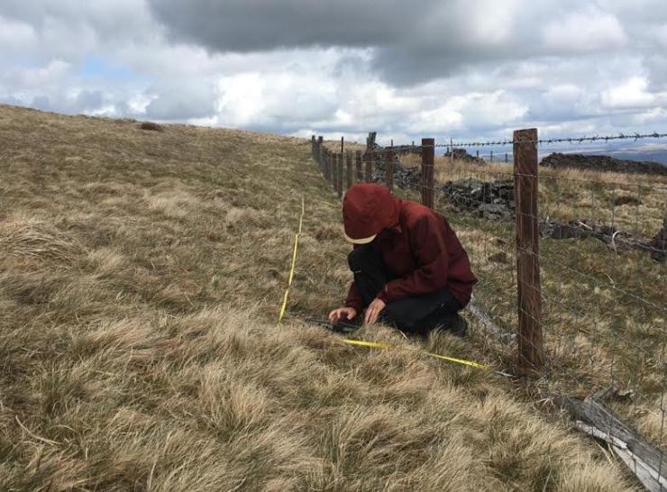
The survey approach also recognises that our natural resources are interdependent and impact on each other and so it is important that we are able to co-locate many measurements within the same 1 km survey squares. 


Image
GMEP square locations 2

Location of GMEP survey squares

The GMEP monitoring sample comprised 300 survey-squares across Wales: 150 ‘Wider Wales’ squares and ‘Targeted Squares’. 

Wider Wales Squares: are sites selected as representative of Wales and are independent of farm management and land cover. The areas are randomly sampled within strata according to land classifications. They aim to capture national trends, counterfactuals and key baseline comparisons. 

Targeted Squares: are randomly selected within areas which score highest for Glastir Advanced payments. Selection uses the Welsh Government's scoring system to combine maps of Glastir priorities and squares are chosen to map onto areas that WG have emphasised as priorities for Glastir Advanced payments.